FOOTHILLSFIRE DEFENSE

COLORADO FOOTHILLS / WILDFIRE PLANNING

AI-assisted
wildfire planning
& mitigation.

Understand potential property vulnerabilities. Organize mitigation priorities. Prepare evidence for the people who review conditions on the ground.

Planning support for homeowners, government officials and fire departments. Preliminary findings require professional review and field verification.

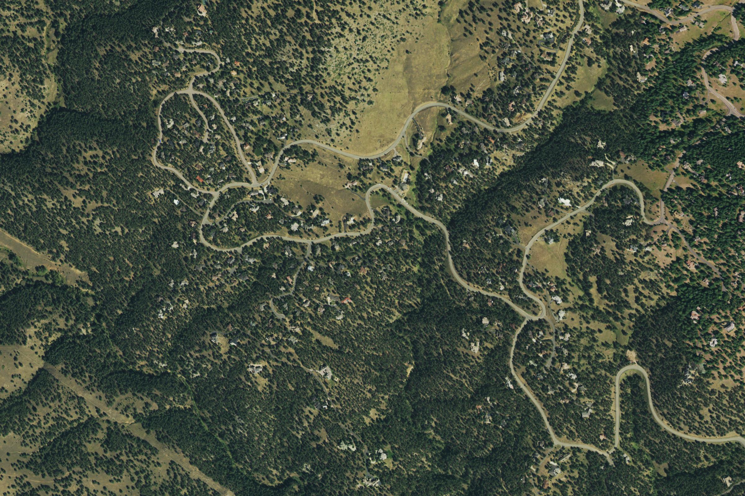
Aerial view of homes among wooded Colorado foothills and winding mountain roads
Colorado foothills · USGS / USDA NAIP
Geographic context, not a risk analysis.
Imagery source ↗

WHO WE SERVE

Planning for homes,
communities & field teams.

Different responsibilities call for different questions. Each starts with evidence that a person can review.

01 / PROPERTY

Homeowners

Understand vulnerabilities
around your home.

Review visible concerns around the structure and nearby vegetation, then organize proposed mitigation work. A preliminary brief helps you prepare questions for an onsite professional before deciding what to change.

  • Review home-hardening and defensible-space needs.
  • Separate routine upkeep from work that needs specialist advice.
  • Identify missing photos and conditions to verify onsite.
Prepare a property outline ↓
02 / COMMUNITY

Government officials

Prepare evidence for
community planning.

Explore how property observations and map context could inform neighborhood priorities, resident outreach and shared mitigation projects. Keep the reasons for proposed work available for staff review.

  • Relate proposed projects to existing community plans.
  • Record evidence sources, gaps and questions for review.
  • Identify who reviews recommendations and verifies progress.
Prepare a community outline ↓
03 / FIELD REVIEW

Fire departments

Prepare for site visits
and mitigation follow-up.

Explore pre-visit evidence review using resident photos and observations. Draft recommendations are starting points for qualified staff to correct or reject after checking conditions in the field.

  • Identify evidence gaps before an onsite visit.
  • Confirm conditions before giving property-specific guidance.
  • Keep reported progress separate from verified completion.
Prepare a field-review outline ↓

SHARED PLANNING APPROACH

From available evidence
to proposed work.

A planning brief connects observations to mitigation priorities and identifies what still needs a closer look.

01 / GATHER

Photos, observations & map context

Review roof and gutter debris, vents, decks, nearby vegetation, combustible materials and access. Aerial imagery adds terrain and vegetation context; it cannot confirm hidden details or exact clearances.

02 / REVIEW

Preliminary findings & open questions

AI assists with organizing the evidence into draft findings and proposed priorities. Record sources and missing information so a qualified reviewer can question the draft, correct it or reject it.

03 / VERIFY

Field checks & mitigation follow-up

Confirm conditions onsite before choosing suitable work. Keep proposed actions, reported progress and verified completion distinct when discussing a property or a community project.

Illustrative example: vegetation near a home

Observation

A photo may show vegetation close to a structure, but not its exact clearance.

Proposed action

Review the vegetation’s connection to the home with a qualified professional.

Verify onsite

Confirm distances, vegetation condition and suitable work before pruning or removal.

Illustrative only. This is not a finding about the aerial image or an assessed property.

AI & PROFESSIONAL REVIEW

What AI can assist with.
What people must verify.

AI can help organize photos, map context and observations into preliminary findings and draft recommendations. Data age, resolution and missing information limit what those drafts can tell you.

Qualified reviewers must confirm conditions onsite and choose suitable work. Local staff retain responsibility for official inspections, code decisions and guidance to residents.

Planning support does not predict wildfire behavior, guarantee protection or create or certify a Community Wildfire Protection Plan (CWPP). This is not an emergency service; follow current official instructions during a wildfire.

PREPARE FOR A PLANNING DISCUSSION

Outline your
planning needs.

Choose your role and focus to see the evidence and questions you could bring to a planning discussion.

Example outline only. Nothing is submitted or saved. No personal details, resident records or uploads are requested. Your selections clear on reload.

Start a property assessment →

For a real property assessment request, use the existing assessment form above. The outline below does not submit a request.